|
|
|
Services

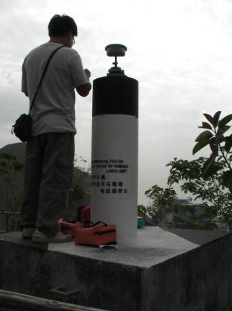
Land Surveying
Our company is headed by
Professional Authorized Land Surveyor to provide land surveying, cadastral
surveying, GIS, hydrographic surveying and engineering surveying for our clients
in producing various maps and plans. By adopting initiative and cost-effective
approach, we are confident to resolve complicated boundary problems and to
provide after-sale services. The followings are the land surveying services that
our company provides:
-
Tree Location Survey and Tree Identification
-
Village layout design
and land subdivision.
-
Verification
of adverse
possession of land properties.
-
Re-establishment of
missing lots.
-
Surrender and
Re-grant, Lease plans for adoption by the Government
-
Digital/ Analogue
aerial photo interpretation for evaluating evidence of land
boundaries.
-
Advice on
resumption and other land boundary matters.
-
Investigation and
preparation of reports on problematic boundary issues.
-
Sectioning and floor
plan survey - record survey of buildings or other structures, e.g. floor
plans, drainage plans, section plans, and elevation plans.
-
Topographic survey
including slope survey, map revision, site survey and tree
survey.
-
Positioning of
bore-holes, pile caps.
-
Precise leveling, land
settlement, deformation and verticality monitoring.
-
3-D Laser scanning
services for heritage and prominent structures.
|
|
|