|
|
|
||||||||||||||||||||
|
|
認可土地測量師 Authorized Land Surveyors_ |
||||||||||||||||||||
|
|
Services
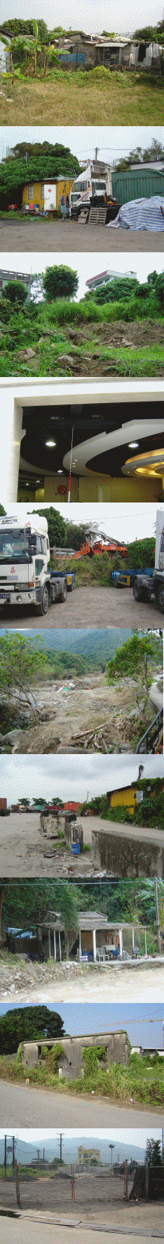
Our deliverables include not only the traditional surveying service but also digital map database creation. We provide services relating to Geographical Information Systems & Digital Photogrammetry, such as building up of GIS spatial database, land cover map formation, land use map production, digital terrain model creation as well as visual impact analysis. Our GIS services include:
|
|
|||||||||||||||||||
|
Copyright @ 2024 KELand Surveying, Planning & GIS Co. Ltd. |
|||||||||||||||||||||